Layers and Resources
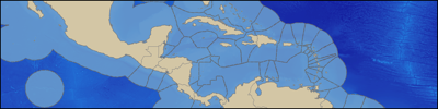
Maritime boundaries of Exclusive Economic Zones
Boundaries
Data that define international borders, maritime boundaries and administrative units.
-
 Maritime Boundaries Geodatabase
- Global maritime boundaries and exclusive economic zones (EEZ)
-
Global Administrative Areas
- Global country and administrative boundaries
-
Large Marine Ecosystems
- Large Marine Ecosystems (LME)
-
Longhurst Biogeographical Provinces
- This dataset represents a partition of the world oceans into provinces as defined by Longhurst (1995; 1998; 2006)
-
Marine Ecoregions of the World (MEOW)
- Global marine realms, provinces, and ecoregions
from Halpern et al (2008), "Human Impacts on Marine Ecosystems"
Human Impact
Data about anthropogenic impacts on marine ecosystems
-
Human Impacts to Marine Ecosystems
- Global data on human impacts to marine ecosystems

SRTM 30 Plus global elevation dataset
Physical Environment
Base physical environment data
-
Global Self-consistent, Hierarchical, High-resolution Shoreline (GSHHS)
- GSHHS database v1.10
-
ETOPO1 Global Topography
- 1 arc-minute global topography
-
GEBCO Global Topography
- 30 arc-second global topography
-
SRTM30_PLUS Global Topography
- 30 arc-second global topography
from the AVISO Sea Surface Height dataset
Oceanographic Data
Physical and biological oceanographic data
-
AVHRR Sea Surface Temperature
- AVHRR Oceans Pathfinder SST data
-
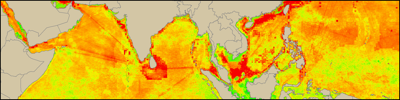
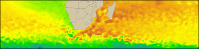
Ocean Primary Productivity
- Primary productivity data
-
QuikSCAT Wind
- QuikSCAT wind data
-
NASA OceanColor Chlorophyll
- NASA OceanColor Chlorophyll A data
-
HYCOM model output
- Global HYCOM + NCODA Hindcast data
