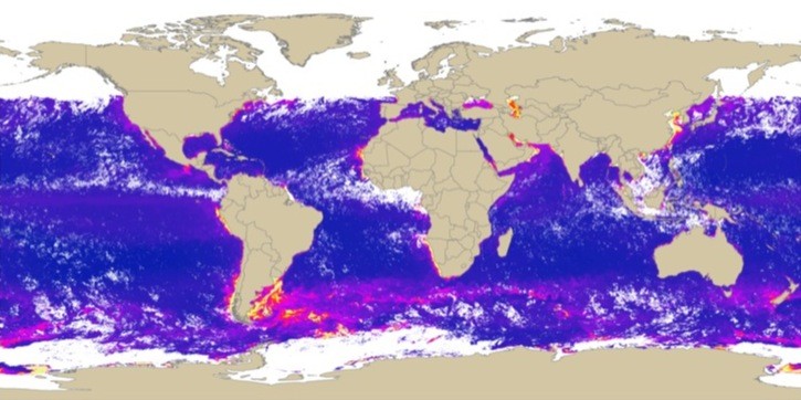
NASA OceanColor Chlorophyll
NASA OceanColor Chlorophyll A data
-
OC3 Chlorophyll A concentration from MODIS Aqua
- Metadata: http://oceancolor.gsfc.nasa.gov/DOCS/ocformats.html#6
- Spatial Resolution: 4km, 8km
- Extent: Global
- Temporal Resolution: Daily, 8-day, Monthly, Seasonal, Annual
- Date Range: 2002 - current
- Format(s): HDF SDS version 4
- Access
Methods: HTTP/FTP
- Data Access: http://oceancolor.gsfc.nasa.gov/PRODUCTS/L3_chlo.html
- CoML visualization guidance: TBD
Use Example
Download a monthly mapped CHL A 4km HDF file and convert to an ESRI grid with ArcGIS
File path/name convention: .../Mapped/[aggregation]/[resolution]/[variable]/A[YYYY][Day of Year][YYYY][Day of Year][level]_[satellite]_[variable]_[spatial resolution].bz2
- Data Conversion: These instructions assume local access to ESRI's ArcGIS software - access to ArcGIS via remote desktop is also available. These instruction require the Marine Geospatial Ecology Tools (MGET) for ArcGIS.
Marine Geospatial Ecology Tools -> Data Management -> HDF Files -> Extract HDF header
Marine Geospatial Ecology Tools -> Conversion -> to ArcGIS Raster -> From HDF SDS -> Convert SDS in HDF to ArcGIS Raster
